
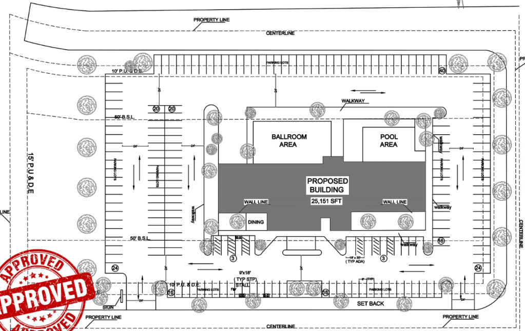
A site plan is a detailed, scaled diagram that shows the layout and features of a property or project site. It serves as a critical tool in the planning, design, and construction of a building or development, helping both developers and authorities understand how a proposed project will fit within the existing landscape and comply with zoning, building codes, and environmental regulations.
Key Elements Typically Found in a Site Plan:
- Property Boundaries: Clear indication of the land’s perimeter, usually with dimensions and any easements or rights-of-way.
- Existing Structures: Locations of any existing buildings, roads, driveways, and other features on the property.
- Proposed Buildings and Additions: The layout of any new structures or modifications, including their dimensions and positioning.
- Topography: Information about the site’s elevation changes, slopes, and contours.
- Utilities: Locations of water, sewer, electricity, and gas lines, as well as drainage systems.
- Access and Circulation: Driveways, pathways, parking areas, and entrances/exits.
- Landscaping: Trees, lawns, gardens, fences, and other landscaping elements.
- Setbacks and Zoning Information: Compliance with local zoning laws, showing required distances between structures and property lines.
- Drainage and Erosion Control: Plans for managing water runoff, preventing erosion, and ensuring the property drains properly.
Purpose of a Site Plan:
Regulatory Approval: Site plans are often required for permitting and approvals from local zoning and planning boards.
Construction Guidance: Provides contractors and builders with a clear understanding of how the site will be developed.
Risk Management: Helps identify potential site issues (e.g., drainage problems, soil stability) that need to be addressed early in the planning process.
Visualization: Allows all stakeholders (property owners, contractors, local authorities) to visualize how the final project will look on the land.
In summary, a site plan is an essential document for both the design and regulatory approval phases of a construction project, offering a clear visual representation of how the land will be used and developed.
