
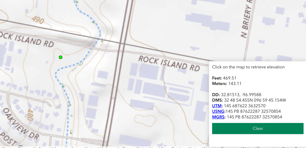
Ground elevation refers to the height or altitude of the land’s surface at a specific location, measured relative to a reference point, often mean sea level (MSL) or a specific datum. Ground elevation is a key parameter in a variety of fields, including engineering, environmental studies, construction, and flood risk management. It provides essential data for understanding the topography and hydrology of a region.
Key Points About Ground Elevation:
- Measurement Unit: Ground elevation is usually measured in feet or meters, depending on the regional standards or the system being used (Imperial vs. Metric).
- Reference Point: Elevation is always measured in relation to a fixed reference point. The most common reference is mean sea level (MSL), which is the average height of the ocean’s surface between high and low tide, used as a standard to measure land elevation. In some cases, a local datum (a reference point specific to a region or project) might be used.
- Applications:
- Floodplain and Flood Risk Management: Ground elevation is critical for determining Base Flood Elevation (BFE) in flood zones. The elevation of a property helps assess its susceptibility to flooding and informs construction regulations in flood-prone areas.
- Construction and Engineering: Accurate ground elevation measurements are essential when designing roads, bridges, buildings, or any infrastructure to ensure proper drainage, stability, and compliance with local codes.
- Surveying: Elevation data is foundational in topographic surveys, which are necessary for mapping, land development, and civil engineering projects.
- Geography and GIS: Ground elevation data, collected through surveys, LiDAR, or satellite imagery, forms the basis for digital elevation models (DEMs), which are used in Geographic Information Systems (GIS) to analyze terrain and natural features.
- Methods of Measuring Ground Elevation:
- Surveying Instruments: Traditional surveying methods using leveling instruments, total stations, or GPS technology to measure ground elevation accurately.
- Remote Sensing: LiDAR (Light Detection and Ranging) or aerial photogrammetry can be used to capture elevation data over large areas with high precision.
- Topographic Maps: Older methods involved the use of contour lines on topographic maps to estimate ground elevation, though these are now often supplemented with more advanced tools.
- Impact of Ground Elevation on Flood Risk:
- Higher ground elevations are less likely to flood during a storm or heavy rainfall because they are positioned above the water table or floodplain.
- Low-lying areas with lower ground elevations are more susceptible to flooding, which is why understanding ground elevation is essential for floodplain mapping and planning.
Example:
- A site’s ground elevation could be measured at 500 feet above sea level, meaning the land is 500 feet higher than the average ocean surface level. If a Base Flood Elevation (BFE) of 472 feet is predicted for the area, any structure built in this location would need to be elevated to at least 472 feet to comply with floodplain regulations, ensuring it is above the predicted flood level.
In conclusion, ground elevation is a fundamental measure that influences various aspects of construction, flood risk assessment, and land management, and is crucial in decision-making processes for infrastructure development and environmental planning.
